
Five routes, each laid out day by day with distances, driving time and nights per stop. Three start and finish in Windhoek. One ends in Kasane in Botswana, and one follows our 2005 trip from Cape Town. Every figure comes from the same set of stages, so the routes compare directly.
| Route | Days | km | of which gravel | longest day (km) | days without moving on |
|---|---|---|---|---|---|
| The south and the Namib in 14 days | 14 | 2,246 | 887 | 415 | 4 |
| Sossusvlei, the coast and Etosha in 14 days | 14 | 2,044 | 1,004 | 531 | 6 |
| The grand loop in 21 days | 21 | 3,238 | 1,332 | 531 | 8 |
| Etosha, Caprivi and Victoria Falls in 21 days | 21 | 2,587 | 1,004 | 517 | 11 |
| From Cape Town through Namibia, as in 2005 | 19 | 3,428 | 909 | 559 | 6 |
Distance alone tells you little. One Windhoek tour operator plans with an average of 80 km/h on tar and 60 km/h on gravel, stops not included. That is why the northern loop via Etosha is 200 kilometres shorter than the southern one yet takes the same 30 to 35 hours at the wheel: it has over 100 kilometres more gravel. As of October 2026.
Two weeks: south or north
Fourteen days are enough for one half of the country. Both two-week routes take in the dunes of Sossusvlei and the coast at Swakopmund. The rest is the choice.
The southern route starts with three days down the B1, to the Kalahari, the quiver tree forest near Keetmanshoop and the Fish River Canyon. Then Lüderitz. From there you head via Aus to the dunes, and because the first three days are on tar, you are used to the car and to driving on the left before the long gravel roads begin. According to the German Foreign Office the south and the coast are free of malaria.
The northern route strings together the names on almost every Namibia wish list: Sossusvlei, Swakopmund, the rock engravings of Twyfelfontein and Etosha. If you want elephants at a waterhole, this is your route. The gravel comes right at the start, and from September to May Etosha lies in an area with a seasonally high malaria risk.
Three weeks: the whole country or further east
The grand loop joins both halves, about 3,250 kilometres in 21 days. On eight days you stay put, three of them in Swakopmund, right in the middle of the trip. It is the route if you are coming once and want both the canyon and Etosha.
The Caprivi route is not a loop. After Sossusvlei, the coast and Etosha it heads east through the narrow Caprivi Strip along the Okavango and the Zambezi to Kasane in Botswana, 95 kilometres from Victoria Falls. That makes it a one-way hire across a border, and the rental company charges a one-way fee and a cross-border permit. Ask about both before you book.
The 2005 route starts in Cape Town. It runs via Springbok and the Orange River to Ai-Ais, through the south and the Namib to Windhoek, and via Keetmanshoop to Upington. That is 19 days and about 3,430 kilometres, plus two driving days back to Cape Town. Back then the trip took ten days.
How much driving a day works
On the two-week routes you spend a little over two hours a day at the wheel on average. That sounds easy. But the driving is not spread evenly: on four to six days you do not drive at all, on others six hours or more. The longest day is between 415 and 559 kilometres, depending on the route.
Plan to arrive before sunset. Some rental contracts exclude driving after dark outside towns from the insurance cover, and at dusk the game is on the road. Fill up wherever you can: in August 2026 there was no fuel at the camps in Etosha.
Gravel technique, wildlife on the road and what to do after a breakdown are covered under practical tips.
Our tipIf a route feels too full, drop a stop rather than a second night. Two nights at the dunes or in the park give you a whole day without packing, and there it starts before sunrise anyway.
The five routes
- Two weeksThe south and the Namib in 14 days
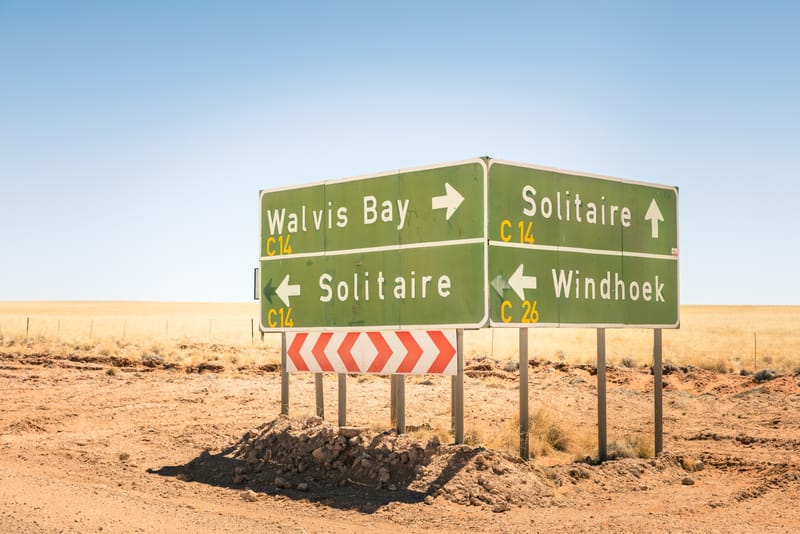
From Windhoek via the Kalahari, the canyon and Lüderitz to the dunes and the coast, with four days without a change of base.
- Two weeksSossusvlei, the coast and Etosha in 14 days
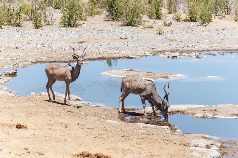
From Windhoek to the dunes, the coast, Damaraland and back through Etosha, with six days without a change of base.
- Three weeksThe grand loop in 21 days
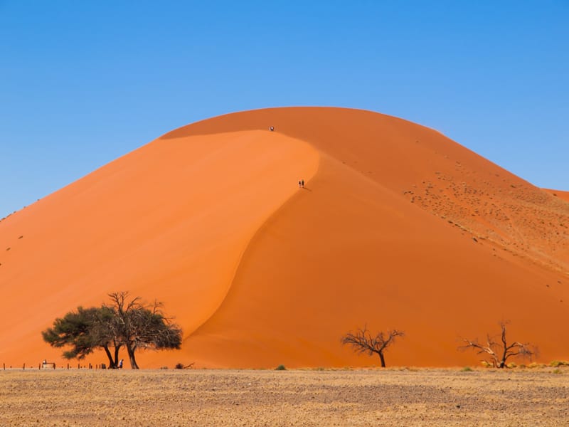
Across almost all of Namibia: Kalahari, canyon, Lüderitz, dunes, coast, Damaraland and Etosha, with eight days without a change of base.
- Three weeksEtosha, Caprivi and Victoria Falls in 21 days
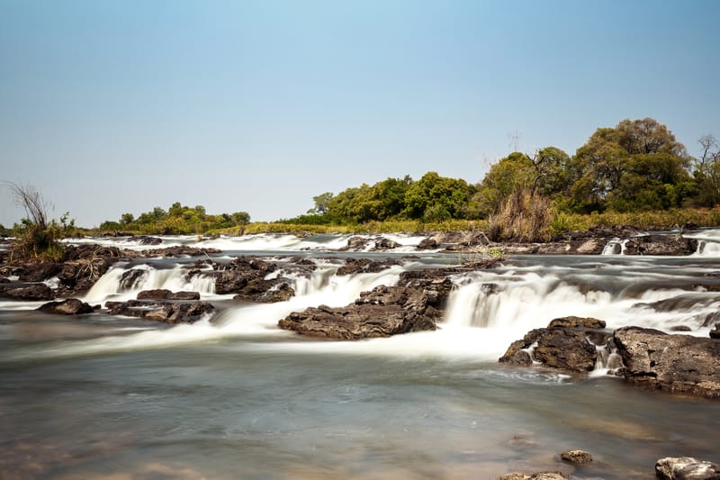
From the dunes via Etosha to the Okavango, the Zambezi and the Chobe, finishing in Botswana.
- Three weeksFrom Cape Town through Namibia, as in 2005
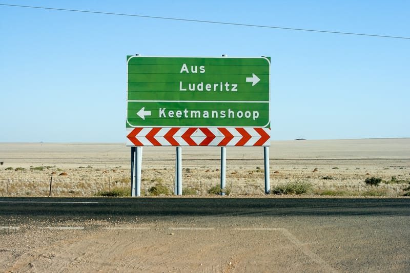
From Cape Town across the border at Noordoewer, through the south and the Namib to Windhoek, and back into South Africa via Keetmanshoop and Upington.


Every stretch of these routes has its own page with road numbers, surface, driving time, fuel stops and places to stay at the end. Use them to build a route of your own: all stages with driving times.
Frequently asked questions
How many days do I need for a self-drive trip through Namibia?
Two weeks cover one half of Namibia: either the south with the Fish River Canyon, Lüderitz and Sossusvlei, or the loop via Sossusvlei, Swakopmund and Twyfelfontein to Etosha, each about 2,050 to 2,250 kilometres from Windhoek. To combine both you need three weeks and about 3,250 kilometres.
How far can I drive in a day in Namibia?
A common planning rule is an average of 80 km/h on tar and 60 km/h on gravel, without stops. On the five routes on namibiareise.de most driving days take two to six hours, and the longest day is between 415 and 559 kilometres depending on the route.
Which Namibia route has the least gravel?
Among the loops from Windhoek, the two-week southern route via the Fish River Canyon, Lüderitz and Sossusvlei has the smallest share of gravel, just under 900 of about 2,250 kilometres. The northern loop via Twyfelfontein to Etosha is shorter but has about 1,000 kilometres of gravel.
Does a Namibia road trip have to start and end in Windhoek?
No. A route ending in Kasane in Botswana is a one-way cross-border hire, for which the rental company charges a one-way fee and a cross-border permit. Starting in Cape Town, as on the 2005 trip, means a permit for two border crossings.