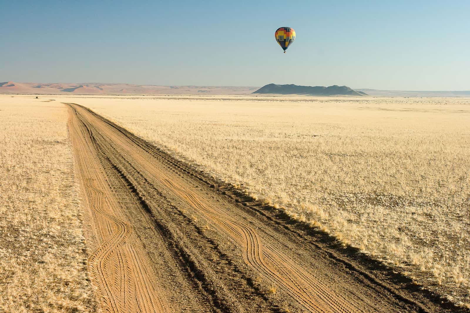
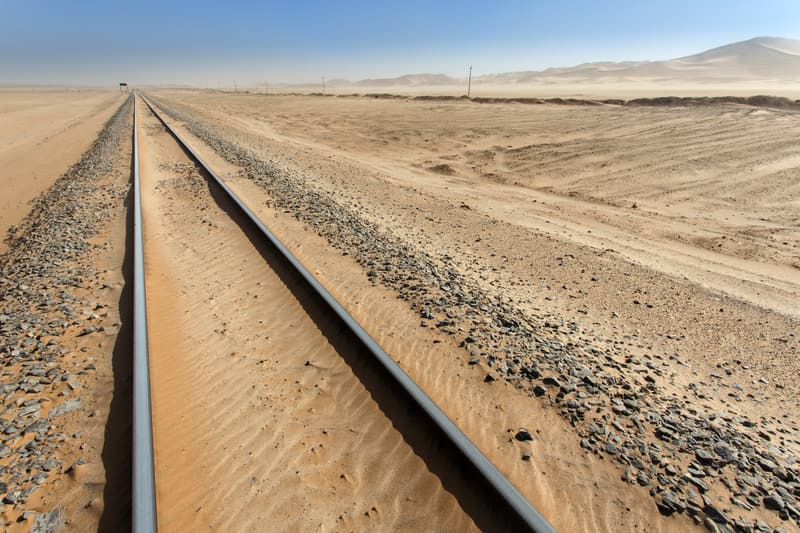
The gravel road runs straight until it melts into the heat haze. Behind you a plume of dust hangs in the air; ahead, not a single car for the past hour.
Namibia has about 49,000 kilometres of road. According to the Roads Authority a little over 8,000 of them are tarred; the rest is gravel, earth and salt. Driving yourself in Namibia means driving mostly on gravel, and that shapes almost every decision: which vehicle, how many kilometres a day, which route.
That is why the routes here are built from individual stages. Each stage has its road numbers, distance, share of gravel, a realistic driving time and the places where you can refuel. Anything that changes, from visas and park fees to closed roads, comes with a date.
All distances are in kilometres, prices in Namibian dollars (N$) as they are quoted locally. The German version of the site also carries a travelogue from 2005, ten days from Cape Town to Windhoek, set against today.
Road network
about 48,900 kma little over 8,250 km tarred, Roads Authority
Park fee
N$ 280per adult per day in Etosha and Sossusvlei, since 1 April 2026
Time zone
UTC+2all year, no daylight saving
Windhoek to Sesriem
342 kmabout 246 km of it gravel
Windhoek to Etosha
415 kmtar all the way to Okaukuejo
Seven regions, long distances
Almost every trip begins in Windhoek. From there it is 342 kilometres to Sesriem at the dunes, 360 to Swakopmund on the coast and 415 to Okaukuejo in Etosha. Each of the big destinations is a full day's drive from the capital.
The south holds the Kalahari, the quiver tree forest near Keetmanshoop, the Fish River Canyon and, on the Atlantic, Lüderitz with the ghost town of Kolmanskop. The Namib with Sossusvlei, Sesriem and Solitaire lies to the north of it. On the coast are Swakopmund and Walvis Bay, often under fog and much cooler than the interior.
Further north the country empties out. Damaraland has the rock engravings of Twyfelfontein, with the Kaokoveld beyond. Etosha, with its salt pan and waterholes, is the big wildlife destination. And in the far northeast the narrow Caprivi Strip runs between Angola and Botswana along the Okavango and the Zambezi, one stage alone covering 517 kilometres from Rundu to Katima Mulilo. All places by region are listed under places.
Coast and places drawn from real coordinates. The dashed border and the outline of the Etosha Pan are approximate, good for orientation, not for navigation.
The airport road used to be a two-lane country road. Today the four-lane Dr Hage G. Geingob Freeway covers the 45 kilometres from Hosea Kutako International Airport into town. In the city centre an old photo subject is gone: the Reiterdenkmal, the colonial equestrian statue outside the Christuskirche, was taken down in 2009, set up again in front of the Alte Feste in 2010 and lifted off its plinth on the evening of 25 December 2013. The Alte Feste itself has been closed to visitors since about 2014 and has been under restoration since April 2025.
The clocks no longer change. Namibia dropped its winter time in 2017, while in 2005 it still switched to UTC+1 for the cooler months of the year. Park fees for foreign visitors almost doubled on 1 April 2026. Since March 2024 the network operator MTC has sold travellers a data-only eSIM, and since 1 April 2025 German visitors have needed a visa, which nobody asked for in 2005.
Our tipBook your nights at the dunes first. If you sleep inside the park gate at Sesriem you may set off an hour before sunrise; everyone else waits until sunrise. The campsite there is run by the state company NWR, and you book it directly with them.
Common questions about a Namibia self-drive
Can you travel Namibia independently in a hire car?
Yes. Sossusvlei, Swakopmund, the Fish River Canyon and Etosha are all within reach by car, and you may drive yourself through Etosha. Namibia has about 49,000 kilometres of road, of which a little over 8,000 are tarred according to the Roads Authority. Self-drivers plan mainly around gravel, driving times and fuel stops.
How far is it from Windhoek to Sossusvlei and to Etosha?
From Windhoek to Sesriem, the gateway to the Sossusvlei dunes, is about 340 kilometres, more than 240 of them gravel, so five to five and a half hours. To Etosha's Andersson Gate and Okaukuejo it is about 415 kilometres on tar, four and a half to five and a half hours.
What has changed in Namibia for travellers since 2005?
German visitors have needed a visa since 1 April 2025, and visitors from other countries should check their own rules. Namibia stopped changing its clocks in 2017, park fees for foreigners almost doubled on 1 April 2026, and a four-lane freeway now links the airport with Windhoek.
What time zone is Namibia in?
Namibia uses Central Africa Time, UTC+2, all year round with no daylight saving. That is one hour ahead of the UK in summer and two hours ahead in winter.