
For travellers Namibia falls into seven regions: Windhoek and the highlands, the coast around Swakopmund, Sossusvlei and the Namib, the south, Etosha and the north, Damaraland and Kaokoveld, and far in the north-east Kavango and Zambezi. Almost every region is a full day's drive from Windhoek. Sesriem by the dunes is 342 kilometres away, Swakopmund 360, Okaukuejo in Etosha 415 and Keetmanshoop in the south 496. Rundu on the Okavango? 685 kilometres. Katima Mulilo on the Zambezi is about 1,200 away. Of the country's roughly 48,900 kilometres of road, a little over 8,250 are tarred, so plan on 80 km/h on tar and 60 on gravel, not on what the speedometer will do.
- Windhoek and centre6 places
- Coast3 places
- Namib3 places
- South7 places
- Etosha and north8 places
- Damaraland and Kaokoveld5 places
- Kavango and Zambezi3 places
- Sight
Two weeks are enough for three or four regions. One loop from Windhoek runs through the south to the Fish River Canyon and Lüderitz, then across the Namib to the coast, about 2,250 kilometres. The other takes in the Namib, the coast, Damaraland and Etosha, about 2,050. Three weeks let you combine both. The north-east works best as a one-way trip rather than a loop: the Caprivi route ends after 21 days in Kasane in Botswana, as a one-way rental. The map here is a drawing. The coastline follows real coordinates, the border is approximate and dashed, and it is no substitute for a road map or satnav.
- Windhoek and centreWindhoek and the highlands
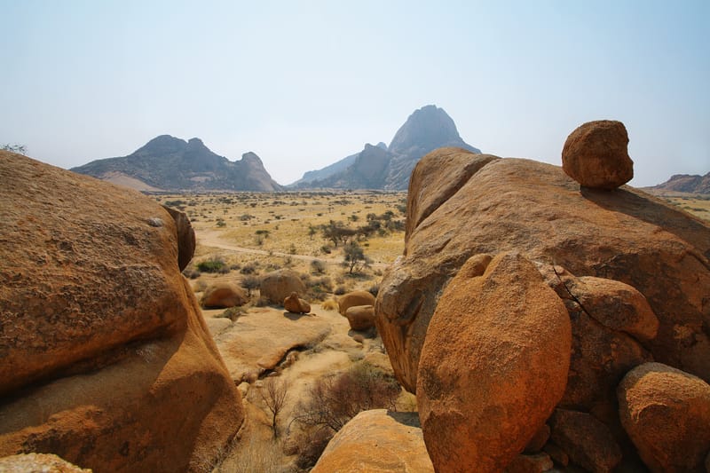
Capital, airport and roads in every direction: almost every trip starts here, and this is where you decide which way to go first.
- CoastSwakopmund and the coast
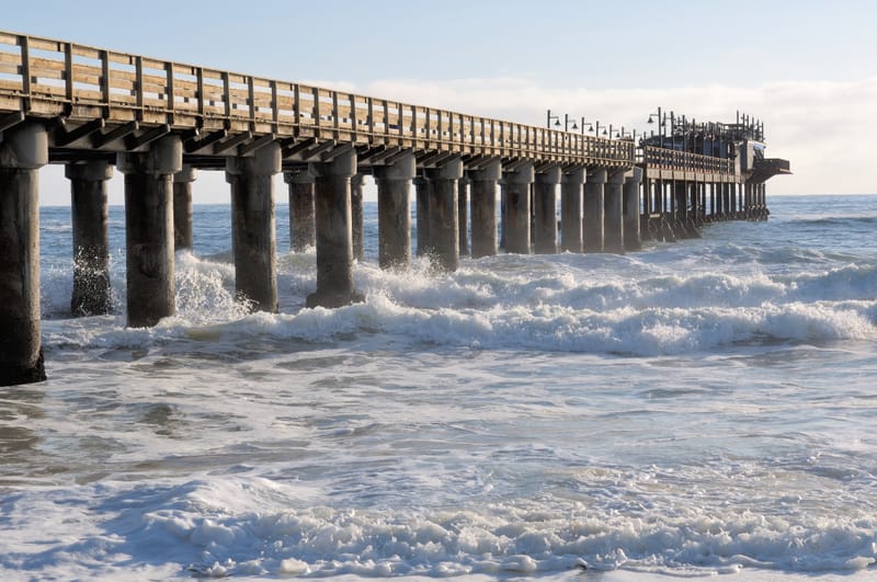
A cool strip along the Atlantic where everyone catches their breath after the desert, with seals, flamingos and old German buildings.
- NamibSossusvlei and the Namib
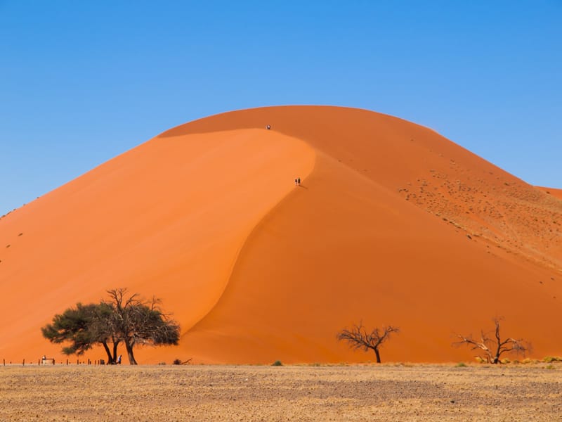
Red dunes, a park gate and three small places on the desert edge, with little but gravel in between.
- SouthThe south
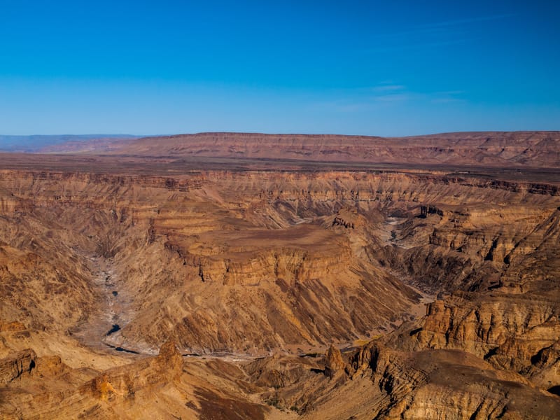
Long drives, few towns, and in between the canyon, the quiver trees and a harbour town on the Atlantic.
- Etosha and northEtosha and the north
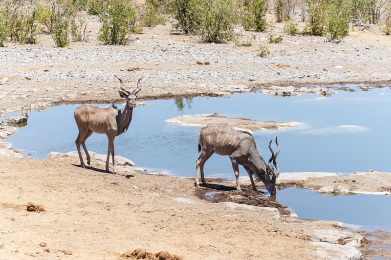
A white salt pan, two gates and the towns where everyone fills up one last time before the park.
- Damaraland and KaokoveldDamaraland and Kaokoveld
Rock engravings, desert elephants and gravel roads where the next fuel stop sets the pace of the day.
- Kavango and ZambeziKavango and Zambezi
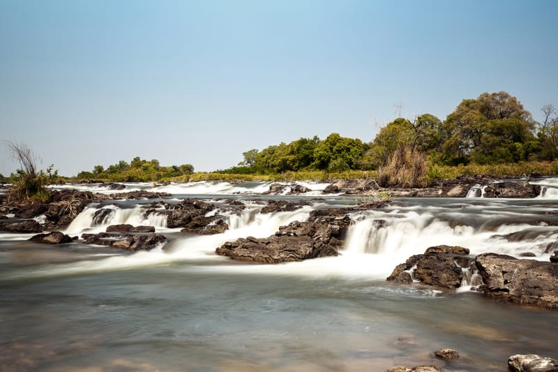
The Okavango, Kwando and Zambezi on a narrow strip of land, with Angola, Botswana and Zambia next door.


Frequently asked questions
How many regions of Namibia can you cover in two weeks?
In two weeks you can link three or four of Namibia's regions, for example the south, the Namib and the coast over about 2,250 kilometres, or the Namib, the coast, Damaraland and Etosha over about 2,050. For the south and the north together you need three weeks.
Can you navigate with the Namibia region map?
The Namibia region maps are drawn: the coastline follows real coordinates, while the border is only approximate. They show how the places relate to each other but are no substitute for a road map or satnav.
Which region of Namibia is furthest from Windhoek?
Kavango and Zambezi in the north-east is the region furthest from Windhoek. Rundu on the Okavango is 685 kilometres away, Katima Mulilo on the Zambezi about 1,200. Most travellers therefore get there via Etosha and continue through Botswana.