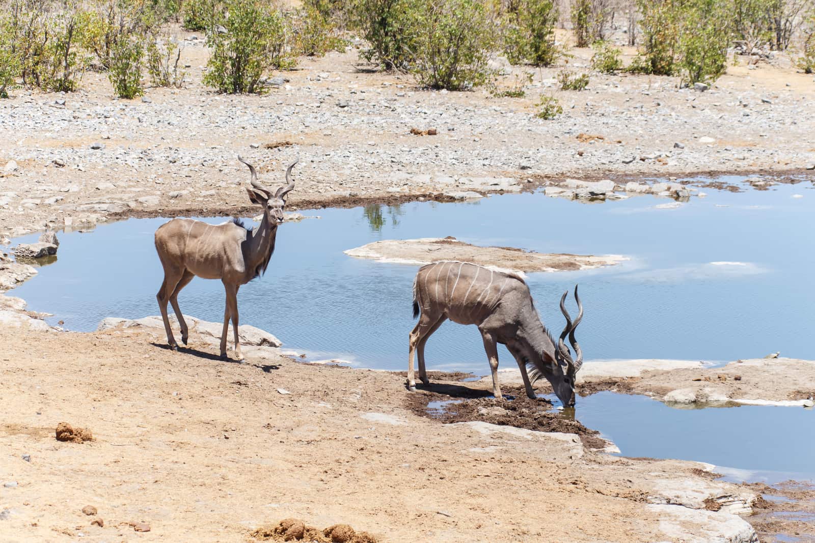
At the heart of the region lies the Etosha Pan, about 130 kilometres long, the great white place in Oshivambo. The rest depends on the gates. From the south you come via Otjiwarongo and Outjo to Andersson Gate, just over 17 kilometres from Okaukuejo. From the east the B1 takes you through Tsumeb to Von Lindequist Gate, 12 to 13 kilometres from Namutoni. Go from gate to gate. That way you never drive the same road twice.
- from Windhoek to Andersson Gate, all tar
- 415 km
- of gravel from Okaukuejo to Namutoni, by source
- 140 to 155 km
- from Von Lindequist Gate back to Windhoek
- 531 km
- park fee per adult per day, as of October 2026
- N$ 280
Give Etosha itself at least two nights, three if you can. One belongs to the south, where the Okaukuejo waterhole is floodlit after dark, and one or two to the east around Namutoni. In between, via Halali, a route planner counts 155 kilometres of gravel; other sources say 140. At 40 km/h that is four to five hours. Add the waterholes and it fills the whole day. You book the camps inside the park directly with NWR, and private lodges wait outside both gates, from where you drive in at sunrise.
Fuel is the real planning question up here. Since early 2025 deliveries to the camps have failed again and again, and in August 2026 there was no fuel at any Etosha camp. So you fill up beforehand. In the south that means Otjiwarongo, Outjo or the Etosha Trading Post outside Andersson Gate; in the east, Tsumeb. If you are heading for the west of the park through Galton Gate, fill up in Kamanjab.
What the region holds besides the pan
The Waterberg rises up to 250 metres above the bush, a table mountain of red sandstone. You leave the B1 28 kilometres south of Otjiwarongo; from town it is 89 kilometres to the rest camp below the cliffs. You reach the plateau only on foot or on a guided game drive. One night fits neatly into the drive north, two if you want the game drive.
In the east, Tsumeb, Otavi and Grootfontein form the Otavi Triangle. It is greener than the rest of the country. About 550 millimetres of rain fall here each year, the soil is fertile, and so the area is also known as the maize triangle. Lake Otjikoto lies right by the B1 on the way to the eastern gate. The Hoba meteorite is west of Grootfontein. If you carry on to the Caprivi, this is where you break the journey: Rundu is about 250 kilometres from Grootfontein.
Right up in the north, Oshakati and Ondangwa lie in Owamboland, 291 kilometres from Tsumeb on the B1. You will see few tourists there. A night is worth it if you loop west to the Kunene at Ruacana, or take the C41 to Opuwo, 224 kilometres of tar.
When Etosha is at its best
There is game in the park all year. From July to October the animals gather at the waterholes because there is nothing left to drink elsewhere, and that is when you see the most. From May to September it is dry and cooler, below ten degrees at night. Pack a warm jacket.
According to the German Foreign Office, the malaria risk in Etosha is high from September to May and moderate from June to August. In the north and northeast it is high all year. Talk to your doctor about prevention before you travel.
Our tipArrive at every gate with a full tank and allow for your game drives. Inside the park 150 kilometres and more add up quickly, and both park gates and camp gates close at sunset.
- Windhoek and centre6 places
- Coast3 places
- Namib3 places
- South7 places
- Etosha and north8 places
- Damaraland and Kaokoveld5 places
- Kavango and Zambezi3 places
- Sight
Places in the region
- Etosha and northEtosha South (Andersson Gate)
The main camp in southern Etosha, 17 kilometres beyond Andersson Gate, with the floodlit waterhole.
- Etosha and northEtosha East (Von Lindequist Gate)
The camp in eastern Etosha around a white fort, 12 kilometres beyond Von Lindequist Gate.
- Etosha and northOutjo
The small town on the C38 where everyone fills up and stocks up before Etosha.
- Etosha and northOtjiwarongo and Waterberg
The junction on the B1 where the roads to Etosha, the Waterberg and the coast go their own ways.
- Etosha and northTsumeb
The green mining town on the B1, about 100 kilometres before Etosha's eastern gate.
- Etosha and northOtavi
The small town on the B1 where the road to Grootfontein and Rundu branches off.
- Etosha and northGrootfontein
The town with the largest meteorite on Earth on its doorstep, and the last stop before Kavango.
- Etosha and northOshakati and Ondangwa
Two towns on the B1 in the north, more everyday life than tourist sight.
Worth seeing: Etosha National Park, Waterberg Plateau, Hoba meteorite, Lake Otjikoto, Vingerklip
Stages in and through the region
| Stage | km | of which gravel | Driving time |
|---|---|---|---|
| Twyfelfontein to Etosha (Andersson Gate) | 330 | 100 | 4.5 to 5 hours |
| Okaukuejo to Namutoni | 155 | 155 | 4 to 5 hours |
| Etosha (Von Lindequist Gate) to Windhoek | 531 | 0 | 6 to 7 hours |
| Windhoek to Etosha (Andersson Gate) | 415 | 0 | 4.5 to 5.5 hours |
| Otjiwarongo to Waterberg | 89 | 17 | 1 to 1.5 hours |
| Etosha (Von Lindequist Gate) to Rundu | 432 | 0 | 5 to 6 hours |
Etosha and the north: frequently asked questions
Which Etosha gate is quickest to reach from Windhoek?
Andersson Gate in the south of Etosha is 415 kilometres of tar from Windhoek via Otjiwarongo and Outjo. For Von Lindequist Gate in the east you drive via Tsumeb, just over 530 kilometres according to a route planner, about 480 according to a rental brochure.
How many nights do you need for Etosha?
Plan at least two nights for Etosha National Park, three if you can: one at Okaukuejo in the south and one or two at Namutoni in the east. With stops at the waterholes, the drive between the two camps takes a full day.
Where do you fill up before Etosha?
Before Etosha's Andersson Gate you can refuel in Otjiwarongo, Outjo or at the Etosha Trading Post; before Von Lindequist Gate, in Tsumeb. In August 2026 there was no fuel at the camps inside the park.
Does the Waterberg fit in on the way to Etosha?
The Waterberg is 89 kilometres from Otjiwarongo, with the turn-off from the B1 coming 28 kilometres before town. A night at the rest camp fits well into the drive north; the plateau itself is reached only on foot or on a guided game drive.